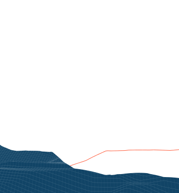
Map showing the temperature distribution across Dresden's urban climate monitoring network on June 27, 2026, at 8:00 PM during a heatwave.
  • CustomerResearch project
  • SectorPublic sector
  • TagsWebGIS, Cloud, Spatial Analytics, IoT, Sensor networks, Urban climate
This project was co-funded by the European Union.
Urban Heat Adaptation Using AI-Based Climate Data

To make cities more resilient to extreme heat, planning requires highly accurate data. In this project, we are developing methods to transform point measurements into comprehensive, high-resolution temperature maps (5x5 m grid) using machine learning and AI. Together with the ERGO Umweltinstitut, TU Dresden, and iamk, we are creating a digital decision-making framework for modern heat protection.

Project contents

Adapting to climate change is one of the central tasks of modern urban planning. Extreme summers, in particular, pose major challenges for municipalities: protecting the population from heat stress, ensuring healthy work and living environments, and maintaining the quality of recreational spaces all depend on accurate meteorological data. However, existing official monitoring networks are often too coarse-grained to capture the complex, fine-scale temperature differences in urban areas, such as those between built-up areas and parks. Furthermore, establishing high-resolution monitoring networks involves high costs and logistical hurdles.

The Project Goal: Data Aggregation and Forecasting

The goal of the HEATMAP project (“High-Resolution Real-Time Models for the Analysis and Forecasting of Heat Stress in Urban Areas”) is to bridge the gap between point measurements and comprehensive, area-wide information.

Alt-Tag: Map showing the temperature distribution across Dresden's urban climate monitoring network on June 27, 2026, at 8:00 PM during a heatwave.

By developing innovative models for the validation and aggregation of measurement data, quality-assured information is to be provided at high spatial (5x5 m grid) and temporal resolution (near real-time). This data serves as an essential foundation for climate adaptation, urban planning, and the protection of vulnerable population groups. The data is sourced from a measurement network established in Dresden, which provides the foundation for investigating vertical temperature gradients and local data quality.

Example input data for model training (shadows, building volume density, horizon clearance, valley locations, land cover) shown as a map excerpt for Dresden.

The role of PIKOBYTES

PIKOBYTES is playing a key role in driving the technological implementation of data processing. Our core tasks include:

  • AI-based mapping: Generating comprehensive temperature and indicator maps using multiple regression models, machine learning (ML), artificial intelligence (AI), as well as advanced feature engineering and spatial interpolation methods.
  • Integration of mobile data: Investigation of the integration of vehicle-mounted measuring devices to dynamically and complementarily expand the database.

Project partners

This project is being carried out in close collaboration with the ERGO Umweltinstitut, the Chair of Meteorology at TU Dresden, and the iamk.

+49 (0)351 850 901 00